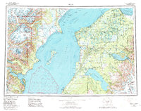
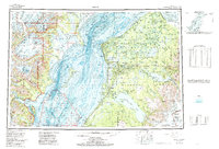
1958 Map of Kenai
USGS Topo · Published 1984About this map
Cook Inlet dominates the center of this mid-century survey, separating the glaciated peaks of the Chigmit Mountains from the expanding settlements on the western shore of the Kenai Peninsula. The map documents a critical period of industrial growth in the region, clearly labeling numerous offshore drilling structures such as Oil Platform Anna, Oil Platform Bruce, and the Oil Platform Dolly Varden within Trading Bay and the Gompertz Channel.
Find a feature on this map
73 named features on this map. Tap any name to fly to it.
Don’t see what you’re looking for? This feature index may not catch every label — zoom into the map to look around manually.
Map Details
Editions of this 1958 Kenai Map
6 editions found

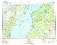
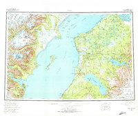
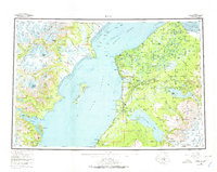
Other maps of this area

1944 · Kenai
USGS Topo · 1:250,000

1946 · Blying Sound
USGS Topo · 1:250,000

1946 · Lake Clark
USGS Topo · 1:250,000

1946 · Seldovia D-5
USGS Topo · 1:63,360

1949 · Tyonek
USGS Topo · 1:250,000

1949 · Seldovia D-4
USGS Topo · 1:63,360

1950 · Kenai
USGS Topo · 1:250,000

1950 · Kenai C-3
USGS Topo · 1:63,360

1950 · Kenai B-1
USGS Topo · 1:63,360

1950 · Seldovia D-2
USGS Topo · 1:63,360