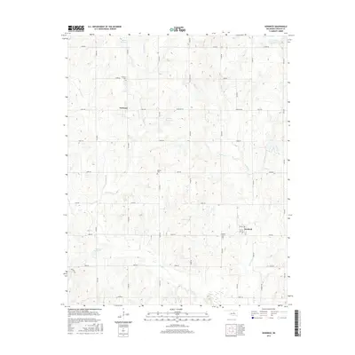
2016 Map of Kendrick
USGS Topo · Published 2016About this map
Kendrick and Parkland anchor this part of Lincoln County, where the landscape is defined by a dense network of sectional roads and meandering creek beds. The drainage patterns of E Beaver Creek and W Beaver Creek in the west, along with Ranch Creek and Fourmile Creek in the east, illustrate the local topography that shaped early settlement. For genealogists, the map is a vital resource, accurately positioning the Kendrick Cem, Parkland Cem, and Bethel Cem. While Kendrick shows a more concentrated grid of streets including Main St and 1st St, the surrounding area remains predominantly rural. The presence of numbered reservoirs, such as 08105 Reservoir and 08114 Reservoir, suggests modern land management and water storage integrated into this traditional agricultural landscape.
Find a feature on this map
46 named features on this map. Tap any name to fly to it.
Don’t see what you’re looking for? This feature index may not catch every label — zoom into the map to look around manually.
Map Details
Editions of this 2016 Kendrick Map
This is the sole edition of this map. No revisions or reprints were ever made.
Other maps of this area

1905 · Chandler
USGS Topo · 1:62,500

1907 · Chandler
USGS Topo · 1:62,500

1908 · Agra
USGS Topo · 1:62,500

1929 · Stroud
USGS Topo · 1:62,500

1931 · Drumright
USGS Topo · 1:62,500

1932 · Stroud
USGS Topo · 1:62,500

1954 · Oklahoma City
USGS Topo · 1:250,000

1957 · Oklahoma City
USGS Topo · 1:250,000

1963 · Oklahoma City
USGS Topo · 1:250,000
1974 · Chandler
USGS Topo · 1:24,000