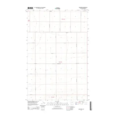
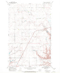
2014 Map of Kenilworth
USGS Topo · Published 2014About this map
Kenilworth serves as the central point of this Chouteau County landscape, situated within a vast grid of section lines and gravel roads that define Montana's agricultural heartland. The topography is marked by the expansive Lonesome Prairie, which is dissected by drainage features such as Sixmile Coulee in the north. This 2014 survey documents a quiet rural area where the naming of thoroughfares like Fairview School Rd and Miners Way hints at the former community functions and local industries that once anchored these plains.
Find a feature on this map
25 named features on this map. Tap any name to fly to it.
Don’t see what you’re looking for? This feature index may not catch every label — zoom into the map to look around manually.
Map Details
Editions of this 2014 Kenilworth Map
This is the sole edition of this map. No revisions or reprints were ever made.
Other maps of this area

1906 · Lonesome
USGS Topo · 1:62,500

1919 · Big Sandy
USGS Topo · 1:125,000

1953 · Boggs Island
USGS Topo · 1:24,000

1954 · Shelby
USGS Topo · 1:250,000

1958 · Shelby
USGS Topo · 1:250,000
1964 · Day School
USGS Topo · 1:24,000

1969 · Fourteenmile Coulee SW
USGS Topo · 1:24,000
1969 · Kenilworth
USGS Topo · 1:24,000
1969 · Fourteenmile Coulee SE
USGS Topo · 1:24,000
1969 · Kenilworth SW
USGS Topo · 1:24,000