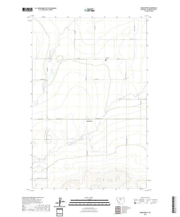
2024 Map of Kenilworth
USGS Topo · Published 2024About this map
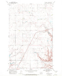
Kenilworth stands as a primary point of interest in this section of Chouteau County, where the high plains are carved by the distinct drainage patterns of Sixmile Coulee and Twelvemile Coulee. The landscape is largely defined by a grid of rural roads and section lines, reflecting the organized land management of the region. Local history and genealogy are anchored at the Kenilworth Cem, located north of the main settlement along CBF RD. This survey reveals a community shaped by its topography, with roadways like Rudyard Rd and Hingham Rd providing essential connections across the undulating terrain. Other local names such as Miners Way and Sunrise Rd hint at the personal and industrial history of the local landholders in this Montana prairie setting.
Find a feature on this map
21 named features on this map. Tap any name to fly to it.
Don’t see what you’re looking for? This feature index may not catch every label — zoom into the map to look around manually.
Map Details
Editions of this 2024 Kenilworth Map
This is the sole edition of this map. No revisions or reprints were ever made.
Other maps of this area

1906 · Lonesome
USGS Topo · 1:62,500

1919 · Big Sandy
USGS Topo · 1:125,000

1953 · Boggs Island
USGS Topo · 1:24,000

1954 · Shelby
USGS Topo · 1:250,000

1958 · Shelby
USGS Topo · 1:250,000
1964 · Day School
USGS Topo · 1:24,000

1969 · Fourteenmile Coulee SW
USGS Topo · 1:24,000
1969 · Kenilworth
USGS Topo · 1:24,000
1969 · Fourteenmile Coulee SE
USGS Topo · 1:24,000
1969 · Kenilworth SW
USGS Topo · 1:24,000