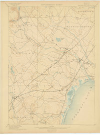
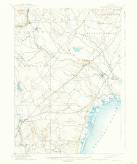
1898 Map of Kennebunk
USGS Topo · Published 1902About this map
The coastal landscapes and industrial tidewaters of York County appear here as surveyed in 1889, revealing a region defined by its river-driven manufacturing and seaside tourism. The Mousam River and Kennebunk River serve as primary corridors of activity, supporting inland sites like Littlefield's Mills and the maritime hub at Kennebunk Landing. Along the coast, early recreational development is evident at Kennebunk Beach and the long stretches of Wells Beach and Ogunquit Beach.
Find a feature on this map
46 named features on this map. Tap any name to fly to it.
Don’t see what you’re looking for? This feature index may not catch every label — zoom into the map to look around manually.
Map Details
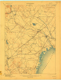
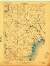
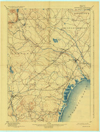
Editions of this 1898 Kennebunk Map
6 editions found

Other maps of this area

1891 · Portland
USGS Topo · 1:62,500

1891 · Biddeford
USGS Topo · 1:62,500

1891 · Berwick
USGS Topo · 1:62,500

1891 · Kennebunk
USGS Topo · 1:62,500

1891 · Buxton
USGS Topo · 1:62,500

1891 · Newfield
USGS Topo · 1:62,500

1892 · Buxton
USGS Topo · 1:62,500

1893 · Kennebunk
USGS Topo · 1:62,500

1893 · Dover
USGS Topo · 1:62,500

1893 · Berwick
USGS Topo · 1:62,500