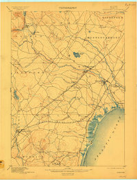
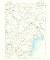
1898 Map of Kennebunk
USGS Topo · Published 1909About this map
The coastal village of Kennebunk and its industrial satellites define the southern Maine landscape as it appeared in the late nineteenth century. The region's economy is clearly mapped through its reliance on water power and early rail systems, with Littlefield's Mills and the inland hub of Wells Depot serving as vital collection points for local commerce. Along the shoreline, the early development of summer colonies is visible at Kennebunk Beach and Ogunquit, while the tidal marshes at Crescent Surf and Wells Beach mark the natural interface with the Atlantic Ocean.
Find a feature on this map
43 named features on this map. Tap any name to fly to it.
Don’t see what you’re looking for? This feature index may not catch every label — zoom into the map to look around manually.
Map Details
Editions of this 1898 Kennebunk Map
6 editions found

Other maps of this area

1891 · Portland
USGS Topo · 1:62,500

1891 · Biddeford
USGS Topo · 1:62,500

1891 · Berwick
USGS Topo · 1:62,500

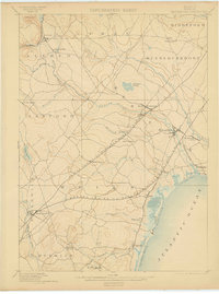
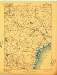
1891 · Kennebunk
USGS Topo · 1:62,500

1891 · Buxton
USGS Topo · 1:62,500

1891 · Newfield
USGS Topo · 1:62,500

1892 · Buxton
USGS Topo · 1:62,500

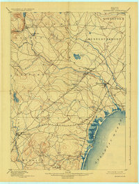
1893 · Kennebunk
USGS Topo · 1:62,500

1893 · Dover
USGS Topo · 1:62,500

1893 · Berwick
USGS Topo · 1:62,500