
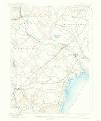
1898 Map of Kennebunk
USGS Topo · Published 1898About this map
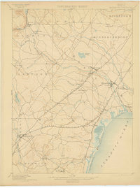
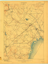
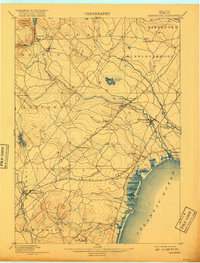
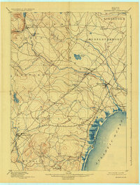
Kennebunk and Wells sit at the heart of this coastal York County landscape, where the late nineteenth-century economy is defined by a dense network of river power and rail connections. The Mousam River and Kennebunk River wind toward the Atlantic Ocean, supporting inland industries like Littlefields Mills and downstream centers such as Kennebunk Landing. The shoreline is already developing as a destination, marked by the long stretches of Wells Beach and Ogunquit Beach, along with the seaside community of Kennebunk Beach. Further inland, the dual lines of the Boston and Maine Railroad Eastern Division and the Western Division create a series of transportation hubs at Wells Depot and North Berwick, facilitating the movement of goods and passengers between the coastal villages and the interior mill towns of Alfred and Sanford.
Find a feature on this map
44 named features on this map. Tap any name to fly to it.
Don’t see what you’re looking for? This feature index may not catch every label — zoom into the map to look around manually.
Map Details
Editions of this 1898 Kennebunk Map
6 editions found
Other maps of this area

1891 · Portland
USGS Topo · 1:62,500

1891 · Biddeford
USGS Topo · 1:62,500

1891 · Berwick
USGS Topo · 1:62,500

1891 · Kennebunk
USGS Topo · 1:62,500

1891 · Buxton
USGS Topo · 1:62,500

1891 · Newfield
USGS Topo · 1:62,500

1892 · Buxton
USGS Topo · 1:62,500

1893 · Kennebunk
USGS Topo · 1:62,500

1893 · Dover
USGS Topo · 1:62,500

1893 · Berwick
USGS Topo · 1:62,500