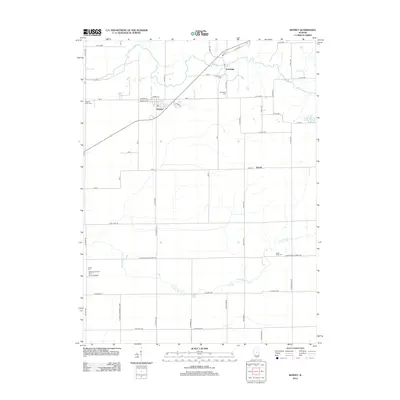
2012 Map of Kenney
USGS Topo · Published 2012About this map
Kenney serves as the primary residential hub for this central Illinois landscape, featuring a grid of streets including Howard St and Benjaman St. The village is situated just south of the meandering Salt Cr, which defines much of the northern topography alongside Tenmile Cr. This area is marked by a deep-rooted rural cemetery network, preserving local history at sites like the Old Baptist Cem and Tunbridge Cem near the settlement of Tunbridge.
Find a feature on this map
56 named features on this map. Tap any name to fly to it.
Don’t see what you’re looking for? This feature index may not catch every label — zoom into the map to look around manually.
Map Details
Editions of this 2012 Kenney Map
This is the sole edition of this map. No revisions or reprints were ever made.
Other maps of this area

1929 · Decatur
USGS Topo · 1:62,500

1933 · Decatur
USGS Topo · 1:62,500

1954 · Niantic
USGS Topo · 1:62,500

1957 · Kenney
USGS Topo · 1:62,500

1957 · Maroa
USGS Topo · 1:62,500

1958 · Peoria
USGS Topo · 1:250,000

1958 · Decatur
USGS Topo · 1:250,000

1961 · Peoria
USGS Topo · 1:250,000

1961 · Decatur
USGS Topo · 1:250,000

1963 · Peoria
USGS Topo · 1:250,000