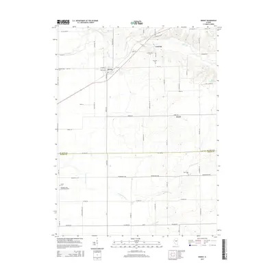
2015 Map of Kenney
USGS Topo · Published 2015About this map
Salt Creek meanders across the northern landscape of this Central Illinois region, where the rural settlements of Kenney and Tunbridge serve as focal points for the surrounding agricultural community. The terrain is defined by a network of drainage systems including Tenmile Cr and Coon Cr, which feed into the primary waterways. A significant survey boundary marks the southern portion of the map, delineating the line between De Witt Co and Macon Co.
Find a feature on this map
55 named features on this map. Tap any name to fly to it.
Don’t see what you’re looking for? This feature index may not catch every label — zoom into the map to look around manually.
Map Details
Editions of this 2015 Kenney Map
This is the sole edition of this map. No revisions or reprints were ever made.
Other maps of this area

1929 · Decatur
USGS Topo · 1:62,500

1933 · Decatur
USGS Topo · 1:62,500

1954 · Niantic
USGS Topo · 1:62,500

1957 · Kenney
USGS Topo · 1:62,500

1957 · Maroa
USGS Topo · 1:62,500

1958 · Peoria
USGS Topo · 1:250,000

1958 · Decatur
USGS Topo · 1:250,000

1961 · Peoria
USGS Topo · 1:250,000

1961 · Decatur
USGS Topo · 1:250,000

1963 · Peoria
USGS Topo · 1:250,000