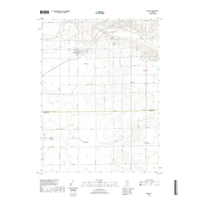
2018 Map of Kenney
USGS Topo · Published 2018About this map
Kenney serves as the primary hub of this central Illinois landscape, where a strictly ordered grid of rural section roads meets the winding course of Salt Creek. The map documents a classic Midwestern agricultural pattern, anchored by small settlements like Rowell and bisected by the Lincoln Memorial Pkwy. Genealogists will find significant value in the distribution of several rural burial sites, including the Tunbridge Cem and Old Baptist Cem near the northern creek beds, as well as the Emery Cem and Upper Ridge Cem further south.
Find a feature on this map
55 named features on this map. Tap any name to fly to it.
Don’t see what you’re looking for? This feature index may not catch every label — zoom into the map to look around manually.
Map Details
Editions of this 2018 Kenney Map
This is the sole edition of this map. No revisions or reprints were ever made.
Other maps of this area

1929 · Decatur
USGS Topo · 1:62,500

1933 · Decatur
USGS Topo · 1:62,500

1954 · Niantic
USGS Topo · 1:62,500

1957 · Kenney
USGS Topo · 1:62,500

1957 · Maroa
USGS Topo · 1:62,500

1958 · Peoria
USGS Topo · 1:250,000

1958 · Decatur
USGS Topo · 1:250,000

1961 · Peoria
USGS Topo · 1:250,000

1961 · Decatur
USGS Topo · 1:250,000

1963 · Peoria
USGS Topo · 1:250,000