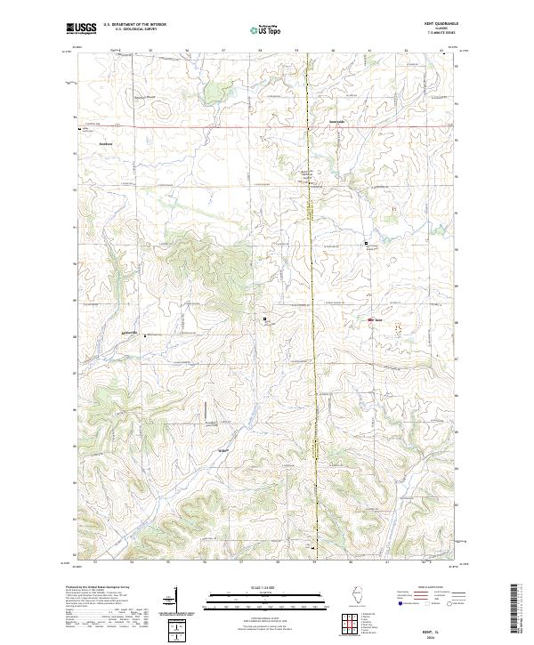
2024 Map of Kent
USGS Topo · Published 2024About this map
The Jo Daviess Co and Stephenson Co line bisects this region of northwestern Illinois, where the drainage of the Plum River and Yellow Creek shapes a landscape of scattered rural communities. These small hubs, including Stockton, Kent, Morseville, and Willow, are connected by a network of sectional roads and county highways that navigate the undulating terrain of the Driftless Area. A notable landmark in the northern reaches is Simmons Mound, rising above the surrounding agricultural fields.
Find a feature on this map
72 named features on this map. Tap any name to fly to it.
Don’t see what you’re looking for? This feature index may not catch every label — zoom into the map to look around manually.
Map Details
Editions of this 2024 Kent Map
This is the sole edition of this map. No revisions or reprints were ever made.
Other maps of this area

1892 · Savanna
USGS Topo · 1:62,500

1911 · Elizabeth
USGS Topo · 1:62,500

1936 · Elizabeth
USGS Topo · 1:62,500

1937 · Lena
USGS Topo · 1:48,000

1942 · Mt Carroll
USGS Topo · 1:62,500

1942 · Lena
USGS Topo · 1:62,500

1943 · Lena
USGS Topo · 1:62,500

1944 · Mt Carroll
USGS Topo · 1:62,500

1952 · Savanna
USGS Topo · 1:62,500

1954 · Rockford
USGS Topo · 1:250,000