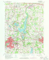
1960 Map of Kent
USGS Topo · Published 1971About this map
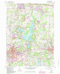
The Cuyahoga River flows through this portrait of Portage County, anchoring a landscape shaped by glacial lakes and a complex industrial transport network. In the south, Kent and Ravenna are established as dense urban hubs, with the sprawling campus of Kent State University and numerous residential streets like Cherry St and Riddle Ave filling the grid. Between these cities, the terrain transitions into a mosaic of wetlands and reservoirs, including Rockwell Lake and Lake Pippen, which are protected within large Reservation boundaries.
Find a feature on this map
96 named features on this map. Tap any name to fly to it.
Don’t see what you’re looking for? This feature index may not catch every label — zoom into the map to look around manually.
Map Details
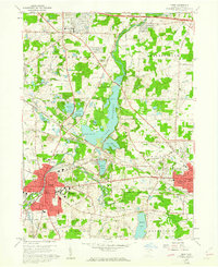
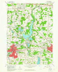
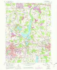
Editions of this 1960 Kent Map
5 editions found
Other maps of this area

1905 · Garrettsville
USGS Topo · 1:62,500

1906 · Kent
USGS Topo · 1:62,500

1906 · Chagrin Falls
USGS Topo · 1:62,500

1906 · Ravenna
USGS Topo · 1:62,500

1907 · Garrettsville
USGS Topo · 1:62,500

1908 · Chagrin Falls
USGS Topo · 1:62,500

1908 · Ravenna
USGS Topo · 1:62,500

1950 · Cleveland
USGS Topo · 1:250,000

1953 · Aurora
USGS Topo · 1:24,000

1953 · Twinsburg
USGS Topo · 1:24,000