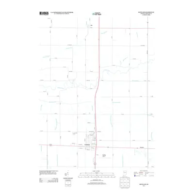
2013 Map of Kentland
USGS Topo · Published 2013About this map
Kentland serves as the primary hub of this northwestern Indiana landscape, situated just south of the winding Iroquois River. The town's grid is clearly defined, showing residential streets and the Kentland Municipal Airport to the southeast. North of the river, the small settlement of Ade marks a junction in a territory dominated by an extensive network of managed waterways. This intricate system includes the Thompson Ditch, Hambridge Ditch, and Strole Ditch, which drain the flat agricultural plains typical of Newton County. The reliance on these man-made channels, such as the Ade McCray Ditch and the paired Morrison Ditch Number One and Morrison Ditch Number Two, reveals the intensive effort required to adapt this prairie land for high-yield farming. The map provides a detailed view of the rural road network, with numbered county roads framing the large rectangular fields that define the regional economy.
Find a feature on this map
76 named features on this map. Tap any name to fly to it.
Don’t see what you’re looking for? This feature index may not catch every label — zoom into the map to look around manually.
Map Details
Editions of this 2013 Kentland Map
This is the sole edition of this map. No revisions or reprints were ever made.
Other maps of this area

1935 · Watseka
USGS Topo · 1:48,000

1938 · Milford
USGS Topo · 1:48,000

1939 · Watseka
USGS Topo · 1:62,500

1944 · Milford
USGS Topo · 1:62,500

1953 · Danville
USGS Topo · 1:250,000

1955 · Danville
USGS Topo · 1:250,000

1956 · Danville
USGS Topo · 1:250,000

1961 · Kentland
USGS Topo · 1:24,000

1961 · Mount Ayr
USGS Topo · 1:24,000

1961 · Morocco
USGS Topo · 1:24,000