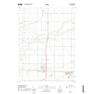
2019 Map of Kentland
USGS Topo · Published 2019About this map
The Iroquois River meanders across this Newton County landscape, reflecting the essential relationship between the region's agricultural productivity and its water management systems. The grid-like arrangement of rural roads and an extensive network of man-made waterways, including Thompson Ditch and Morrison Ditch Number One, underscore a long-term effort to drain and cultivate the prairie. The town of Kentland serves as the focal point, showing a clearly defined residential and commercial street plan with names like E Lincoln St and E Seymour St.
Find a feature on this map
51 named features on this map. Tap any name to fly to it.
Don’t see what you’re looking for? This feature index may not catch every label — zoom into the map to look around manually.
Map Details
Editions of this 2019 Kentland Map
This is the sole edition of this map. No revisions or reprints were ever made.
Other maps of this area

1935 · Watseka
USGS Topo · 1:48,000

1938 · Milford
USGS Topo · 1:48,000

1939 · Watseka
USGS Topo · 1:62,500

1944 · Milford
USGS Topo · 1:62,500

1953 · Danville
USGS Topo · 1:250,000

1955 · Danville
USGS Topo · 1:250,000

1956 · Danville
USGS Topo · 1:250,000

1961 · Kentland
USGS Topo · 1:24,000

1961 · Mount Ayr
USGS Topo · 1:24,000

1961 · Morocco
USGS Topo · 1:24,000