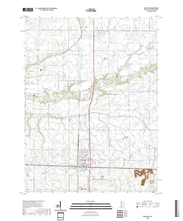
2022 Map of Kentland
USGS Topo · Published 2022About this map
Kentland serves as the focal point of this western Indiana landscape, centered around the Newton County Courthouse and the town's grid of residential streets. The area is defined by an extensive network of drainage infrastructure, such as Thompson Ditch and Kent Ditch, which manage the low-lying terrain surrounding the Iroquois River. These artificial waterways highlight the region's long-standing transition from prairie wetlands to productive agricultural land. Scattered throughout the countryside are several small burial grounds, including Buswell Cem and Doran Cem, which offer significant value for genealogical research. To the north, the small settlement of Ade sits near the crossing of Hambridge Ditch, while the Kentland Municipal Airport occupies the open flats southeast of the main town, illustrating the modern utility of this well-ordered rural grid.
Find a feature on this map
53 named features on this map. Tap any name to fly to it.
Don’t see what you’re looking for? This feature index may not catch every label — zoom into the map to look around manually.
Map Details
Editions of this 2022 Kentland Map
This is the sole edition of this map. No revisions or reprints were ever made.
Other maps of this area

1935 · Watseka
USGS Topo · 1:48,000

1938 · Milford
USGS Topo · 1:48,000

1939 · Watseka
USGS Topo · 1:62,500

1944 · Milford
USGS Topo · 1:62,500

1953 · Danville
USGS Topo · 1:250,000

1955 · Danville
USGS Topo · 1:250,000

1956 · Danville
USGS Topo · 1:250,000

1961 · Kentland
USGS Topo · 1:24,000

1961 · Mount Ayr
USGS Topo · 1:24,000

1961 · Morocco
USGS Topo · 1:24,000