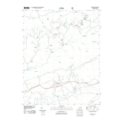
2011 Map of Keokee
USGS Topo · Published 2011About this map
Dryden and Keokee anchor this 2011 survey of Lee County, where the topography of the Appalachian plateau transitions into the valley floor. The North Fork Powell River and the Powell River wind through the southern half of the quadrangle, punctuated by historic crossing points like Stallard Ford and De Busk Ford. These river crossings and the surrounding hollows, such as Marcum Hollow and Carroll Hollow, suggest the traditional travel corridors that have defined local commerce and movement for generations.
Find a feature on this map
84 named features on this map. Tap any name to fly to it.
Don’t see what you’re looking for? This feature index may not catch every label — zoom into the map to look around manually.
Map Details
Editions of this 2011 Keokee Map
This is the sole edition of this map. No revisions or reprints were ever made.
Other maps of this area

1887 · Jonesville
USGS Topo · 1:125,000

1891 · Jonesville
USGS Topo · 1:125,000

1894 · Estillville
USGS Topo · 1:125,000
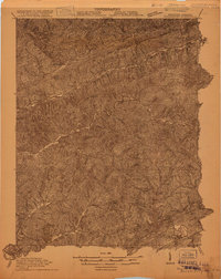
1916 · Nolansburg
USGS Topo · 1:48,000
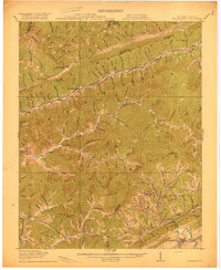
1919 · Nolansburg
USGS Topo · 1:62,500
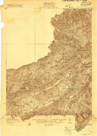
1921 · Big Stone Gap
USGS Topo · 1:48,000
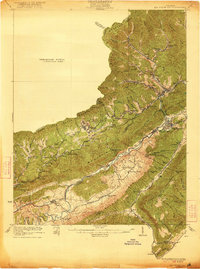
1922 · Big Stone Gap
USGS Topo · 1:62,500
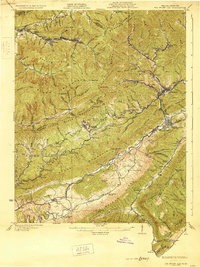
1929 · Big Stone Gap
USGS Topo · 1:62,500
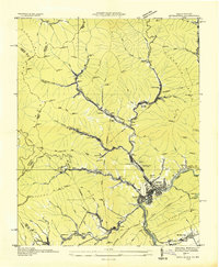
1935 · Appalachia
USGS Topo · 1:24,000
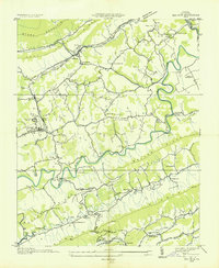
1935 · Ben Hur
USGS Topo · 1:24,000