Loading...
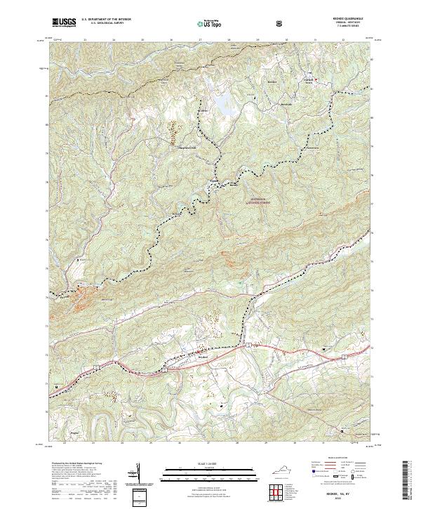
Loading map...2022 Map of Keokee
USGS Topo · Published 2022About this map
Little Black Mtn and the Tennessee Valley Divide define the high ridgeline where Kentucky and Virginia meet. The terrain is marked by deep hollows like Carroll Hollow and Whisman Hollow, which channel water toward the Clover Fork Cumberland River to the north and the Powell River system to the south. This geography dictates the string of small settlements nestled in the valleys, including Keokee, Rawhide, and Darnell Town.
Find a feature on this map
101 named features on this map. Tap any name to fly to it.
Don’t see what you’re looking for? This feature index may not catch every label — zoom into the map to look around manually.
Map Details
Date Portrayed2022
Date Published2022
PublisherU.S. Geological Survey
Map TypeTopographic
Scale1:24000
Physical Dimensions24 x 29 inches
Editions of this 2022 Keokee Map
This is the sole edition of this map. No revisions or reprints were ever made.
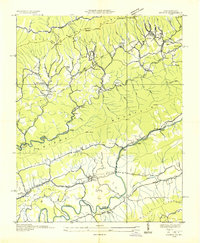
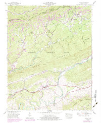
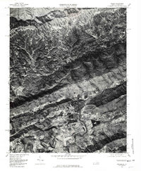
Historical Maps of Ely Through Time
4 maps found
Featured Locations
Source Details
SourceU.S. Geological Survey
CopyrightPublic Domain