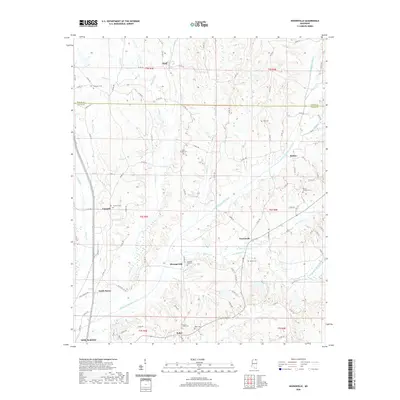
2020 Map of Keownville
USGS Topo · Published 2020About this map
Keownville and the surrounding rural communities of northern Mississippi are defined by the intricate drainage systems of the Little Tallahatchie River. This landscape, surveyed in 2020, shows a pattern of high-density small settlements such as Molino, Concord, and Bluff situated along ridges overlooking various creeks like Cane Cr and Smith Cr. The southern edge of the sheet captures the expansion of New Albany, while the northern portion tracks the jurisdictional border between Tippah and Union counties.
Find a feature on this map
105 named features on this map. Tap any name to fly to it.
Don’t see what you’re looking for? This feature index may not catch every label — zoom into the map to look around manually.
Map Details
Editions of this 2020 Keownville Map
This is the sole edition of this map. No revisions or reprints were ever made.
Other maps of this area

1949 · New Albany
USGS Topo · 1:62,500

1951 · New Albany
USGS Topo · 1:62,500

1955 · Ripley
USGS Topo · 1:62,500

1955 · Sherman
USGS Topo · 1:62,500

1955 · Blue Mountain
USGS Topo · 1:62,500

1956 · Tupelo
USGS Topo · 1:250,000

1958 · Tupelo
USGS Topo · 1:250,000

1980 · New Albany West
USGS Topo · 1:24,000
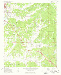
1980 · New Albany East
USGS Topo · 1:24,000
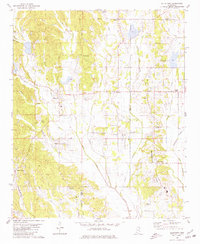
1980 · Ellistown
USGS Topo · 1:24,000