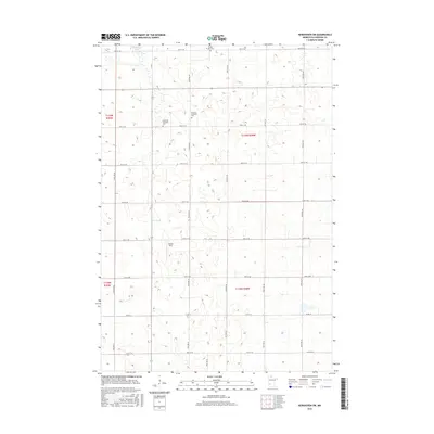
2016 Map of Kerkhoven SW
USGS Topo · Published 2016About this map
Louriston Township and the surrounding Chippewa County countryside appear as a distinct grid of section lines and gravel roads in this 2016 survey. The landscape is primarily defined by its agricultural layout, punctuated by localized historical markers such as the Louriston Township Cem and the Swedish Lutheran Cem. Small-scale water features like Shakopee Lake in the north and the Winter Strip break the geometric regularity of the prairie. Genealogists and local historians will find the exact placements of these cemeteries and the Buffalo Lake Cem useful for tracing family ties within the T119N and T118N townships, where the road network remains largely unchanged from earlier settler patterns.
Find a feature on this map
17 named features on this map. Tap any name to fly to it.
Don’t see what you’re looking for? This feature index may not catch every label — zoom into the map to look around manually.
Map Details
Editions of this 2016 Kerkhoven SW Map
This is the sole edition of this map. No revisions or reprints were ever made.
Other maps of this area

1953 · New Ulm
USGS Topo · 1:250,000

1953 · Saint Cloud
USGS Topo · 1:250,000

1957 · Saint Cloud
USGS Topo · 1:250,000

1957 · New Ulm
USGS Topo · 1:250,000

1958 · New Ulm
USGS Topo · 1:250,000

1958 · Saint Cloud
USGS Topo · 1:250,000

1958 · Murdock
USGS Topo · 1:24,000

1958 · Gracelock NE
USGS Topo · 1:24,000

1958 · Kerkhoven SE
USGS Topo · 1:24,000

1958 · Kerkhoven
USGS Topo · 1:24,000