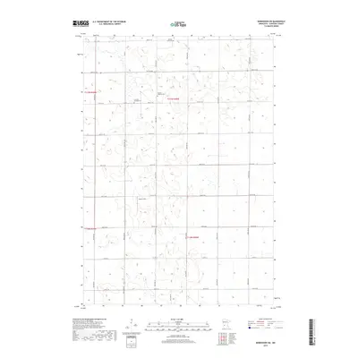
2019 Map of Kerkhoven SW
USGS Topo · Published 2019About this map
Louriston Township Cem and the Swedish Lutheran Cem sit within the grid of agricultural lands in this section of Chippewa County. The landscape is defined by a rigid section-line road network, including arterial routes like Co Rd 4 and Co Rd 13, which connect the scattered homesteads and local landmarks. To the north, the Buffalo Lake Cem marks a local high point near the township line. A notable break in the rural pattern appears at Winter Strip, a small landing site that serves as a modern link for this agricultural community. This survey provides a clear view of the persistent land-use patterns in west-central Minnesota, where the 19th-century township divisions continue to shape the distribution of cemeteries and transport corridors.
Find a feature on this map
32 named features on this map. Tap any name to fly to it.
Don’t see what you’re looking for? This feature index may not catch every label — zoom into the map to look around manually.
Map Details
Editions of this 2019 Kerkhoven SW Map
This is the sole edition of this map. No revisions or reprints were ever made.
Other maps of this area

1953 · New Ulm
USGS Topo · 1:250,000

1953 · Saint Cloud
USGS Topo · 1:250,000

1957 · Saint Cloud
USGS Topo · 1:250,000

1957 · New Ulm
USGS Topo · 1:250,000

1958 · New Ulm
USGS Topo · 1:250,000

1958 · Saint Cloud
USGS Topo · 1:250,000

1958 · Murdock
USGS Topo · 1:24,000

1958 · Gracelock NE
USGS Topo · 1:24,000

1958 · Kerkhoven SE
USGS Topo · 1:24,000

1958 · Kerkhoven
USGS Topo · 1:24,000