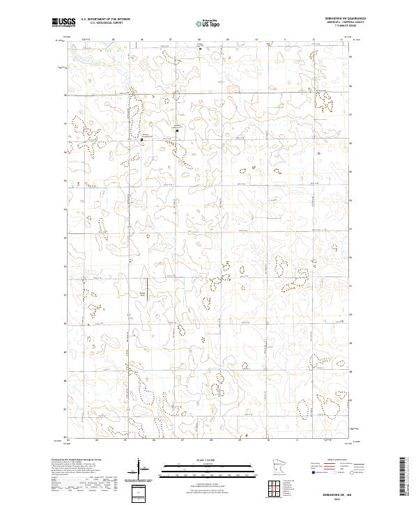
2022 Map of Kerkhoven SW
USGS Topo · Published 2022About this map
Glacial depressions and wetlands define the landscape of Chippewa County as seen in this recent survey. Local history is anchored by rural burial grounds including the Lauriston Township Cem and the Swedish Lutheran Cem, which serve as quiet markers of the region's cultural heritage. The presence of the Winter Strip suggests the importance of local aviation in this agricultural corner of Minnesota. A precise grid of township roads, such as 70th St NE and 60th Ave NE, segments the terrain between scattered water bodies like the one bordering Buffalo Lake Cem. The map provides a contemporary view of these section lines and drainage patterns, useful for tracing modern land use and historical property boundaries in the townships of the Minnesota River valley hinterlands.
Find a feature on this map
32 named features on this map. Tap any name to fly to it.
Don’t see what you’re looking for? This feature index may not catch every label — zoom into the map to look around manually.
Map Details
Editions of this 2022 Kerkhoven SW Map
This is the sole edition of this map. No revisions or reprints were ever made.
Other maps of this area

1953 · New Ulm
USGS Topo · 1:250,000

1953 · Saint Cloud
USGS Topo · 1:250,000

1957 · Saint Cloud
USGS Topo · 1:250,000

1957 · New Ulm
USGS Topo · 1:250,000

1958 · New Ulm
USGS Topo · 1:250,000

1958 · Saint Cloud
USGS Topo · 1:250,000

1958 · Murdock
USGS Topo · 1:24,000

1958 · Gracelock NE
USGS Topo · 1:24,000

1958 · Kerkhoven SE
USGS Topo · 1:24,000

1958 · Kerkhoven
USGS Topo · 1:24,000