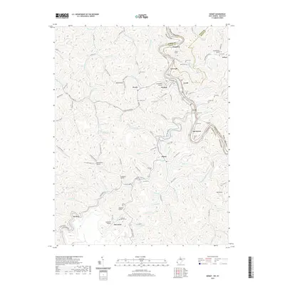
2019 Map of Kermit
USGS Topo · Published 2019About this map
Kermit and Warfield sit on opposite banks of the Tug Fork, marking the border between Martin County, Kentucky, and Mingo County, West Virginia. This 2019 survey captures a landscape defined by the winding valley and the heavy infrastructure of the railroad. Successive tunnels, including Number 1 Tunnel, Number 2 Tunnel, and Number 3 Tunnel, carve through the ridgelines to facilitate coal transport and freight through the mountains.
Find a feature on this map
121 named features on this map. Tap any name to fly to it.
Don’t see what you’re looking for? This feature index may not catch every label — zoom into the map to look around manually.
Map Details
Editions of this 2019 Kermit Map
This is the sole edition of this map. No revisions or reprints were ever made.
Other maps of this area

1886 · Prestonsburg
USGS Topo · 1:125,000

1887 · Warfield
USGS Topo · 1:125,000

1891 · Warfield
USGS Topo · 1:125,000

1892 · Prestonsburg
USGS Topo · 1:125,000

1910 · Naugatuck
USGS Topo · 1:48,000

1912 · Naugatuck
USGS Topo · 1:62,500

1914 · Laynesville
USGS Topo · 1:48,000

1914 · Inez
USGS Topo · 1:48,000

1915 · Williamson
USGS Topo · 1:48,000

1915 · Naugatuck
USGS Topo · 1:48,000