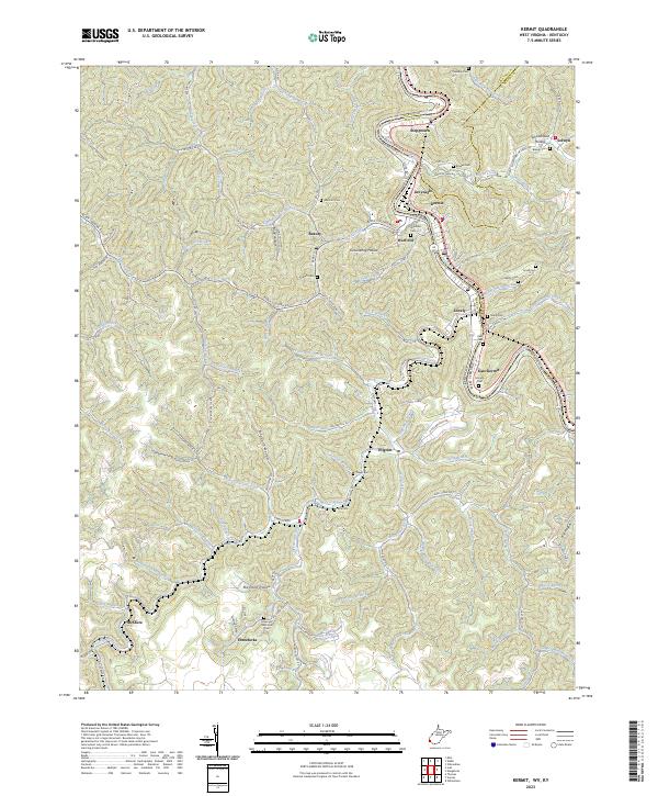
2023 Map of Kermit
USGS Topo · Published 2023About this map
Tug Fork serves as the winding border between West Virginia and Kentucky, anchoring a region of intricate hollows and dispersed mountain communities. The town of Kermit and neighboring Warfield sit on opposite banks of the river, connected by a network of local roads including Riverfront Rd and US Rte 52. The landscape is defined by its social geography, with numerous small family burial grounds such as Brewer Cem, Petercave Memorial Cem, and Murphy Cem tucked into the side valleys.
Find a feature on this map
117 named features on this map. Tap any name to fly to it.
Don’t see what you’re looking for? This feature index may not catch every label — zoom into the map to look around manually.
Map Details
Editions of this 2023 Kermit Map
This is the sole edition of this map. No revisions or reprints were ever made.
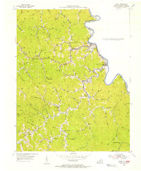
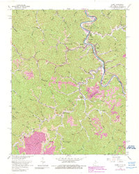
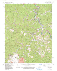
Historical Maps of Threeforks Through Time
4 maps found