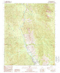
1986 Map of Kernville
USGS Topo · Published 1987About this map
The Kern River carves a deep path through the Sequoia National Forest in this mid-1980s survey, illustrating the convergence of hydroelectric infrastructure and outdoor recreation. The settlement of Kernville serves as the focal point in the south, where the river's flow is monitored by a Gaging Station and harnessed by the Powerhouse. The map documents a string of riverside facilities including Camp Owens, Riverkern, and the Riverkern Beach Picnic Area, showing how the canyon was managed for both utility and public access.
Find a feature on this map
30 named features on this map. Tap any name to fly to it.
Don’t see what you’re looking for? This feature index may not catch every label — zoom into the map to look around manually.
Map Details
Editions of this 1986 Kernville Map
2 editions found
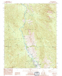
Other maps of this area

1905 · Fairview
USGS Topo · 1:24,000

1906 · Kernville
USGS Topo · 1:125,000

1908 · Kernville
USGS Topo · 1:125,000

1918 · Fairview
USGS Topo · 1:31,680

1920 · Delonagha
USGS Topo · 1:62,500

1926 · Glennville
USGS Topo · 1:62,500

1936 · Tobias Peak
USGS Topo · 1:125,000

1943 · Tobias Peak
USGS Topo · 1:125,000

1943 · Isabella
USGS Topo · 1:62,500

1945 · Tobias Peak
USGS Topo · 1:62,500