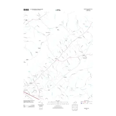
2013 Map of Keswick
USGS Topo · Published 2013About this map
The Southwest Mountains dominate the western landscape of this Virginia Piedmont region, where peaks like Hightop and Broadhead Mountain overlook a terrain defined by legacy estates and small rural hubs. This 2013 survey captures the area as a mosaic of agricultural and historical landholdings, featuring several named manors and farms such as Cismont Manor, Old Keswick, and Castle Hill. The settlement pattern follows the contours of the hills and the winding paths of watercourses like Mechunk Cr and Jacks Br, with communities like Cismont and Keswick serving as central points for local connectivity.
Find a feature on this map
136 named features on this map. Tap any name to fly to it.
Don’t see what you’re looking for? This feature index may not catch every label — zoom into the map to look around manually.
Map Details
Editions of this 2013 Keswick Map
This is the sole edition of this map. No revisions or reprints were ever made.
Other maps of this area

1891 · Palmyra
USGS Topo · 1:125,000

1892 · Gordonsville
USGS Topo · 1:125,000

1895 · Palmyra
USGS Topo · 1:125,000

1897 · Palmyra
USGS Topo · 1:125,000

1935 · Charlottesville
USGS Topo · 1:62,500

1939 · Charlottesville
USGS Topo · 1:62,500

1943 · Scottsville
USGS Topo · 1:62,500

1946 · Scottsville
USGS Topo · 1:62,500

1947 · Roanoke
USGS Topo · 1:250,000

1949 · Charlottesville
USGS Topo · 1:250,000