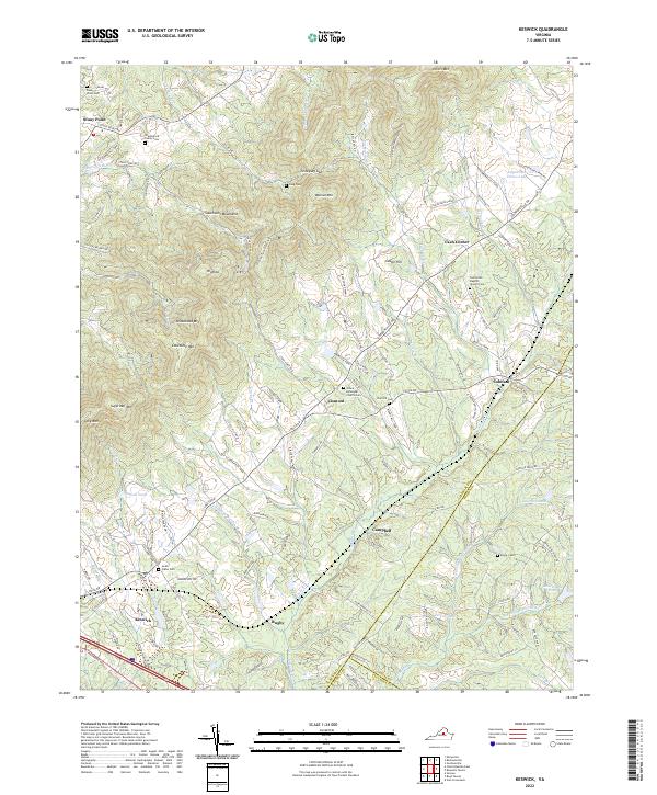
2022 Map of Keswick
USGS Topo · Published 2022About this map
The Southwest Mountains anchor this landscape, where the ridges of Hightop and Broadhead Mtn descend into the fertile basins of Mechunk Cr and Turkey Run. This area of eastern Albemarle County is defined by a dense network of large landholdings and farm estates, such as the prominent Castle Hill landmark and the Cobham Park grounds near the settlement of Cobham. Local history is deeply embedded in the many small congregational and family burial sites scattered across the terrain, including the Grace Episcopal Church Cem at Cismont and the Shackelford Family Cem near Stony Point. The map illustrates a rural economy transitioning toward modern residential patterns while maintaining its traditional identity through places like Keswick and Rugby, where old road names like Gordonville Rd and Louisa Rd follow long-established transit corridors.
Find a feature on this map
127 named features on this map. Tap any name to fly to it.
Don’t see what you’re looking for? This feature index may not catch every label — zoom into the map to look around manually.
Map Details
Editions of this 2022 Keswick Map
This is the sole edition of this map. No revisions or reprints were ever made.
Other maps of this area

1891 · Palmyra
USGS Topo · 1:125,000

1892 · Gordonsville
USGS Topo · 1:125,000

1895 · Palmyra
USGS Topo · 1:125,000

1897 · Palmyra
USGS Topo · 1:125,000

1935 · Charlottesville
USGS Topo · 1:62,500

1939 · Charlottesville
USGS Topo · 1:62,500

1943 · Scottsville
USGS Topo · 1:62,500

1946 · Scottsville
USGS Topo · 1:62,500

1947 · Roanoke
USGS Topo · 1:250,000

1949 · Charlottesville
USGS Topo · 1:250,000