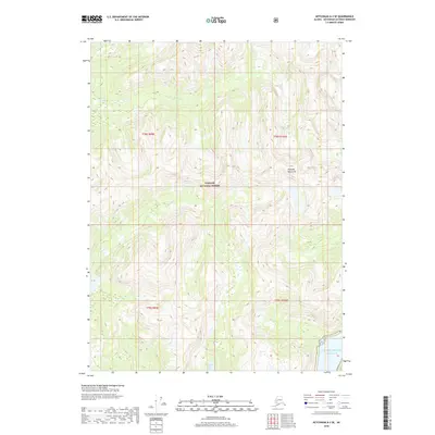
2018 Map of Ketchikan A-2 SE
USGS Topo · Published 2018About this map
The Tongass National Forest dominates this coastal Alaska landscape, characterized by the dramatic rise of the Peabody Mountains. This 2018 survey captures the intricate drainage patterns of the Red River as it winds through township boundaries T78S and T79S. To the south, the terrain meets the saltwater at Hidden Inlet, where the tidal waters of the Pacific Ocean interface with the land. The presence of Hidden Inlet Lake just inland from the coast suggests a dynamic hydrological system where freshwater runoff from the surrounding peaks collects before reaching the sea. This map provides a detailed view of the uninhabited wilderness and steep topography of the Ketchikan Gateway Borough as it appeared in the early 21st century.
Find a feature on this map
9 named features on this map. Tap any name to fly to it.
Don’t see what you’re looking for? This feature index may not catch every label — zoom into the map to look around manually.
Map Details
Editions of this 2018 Ketchikan A-2 SE Map
This is the sole edition of this map. No revisions or reprints were ever made.
Other maps of this area

1951 · Prince Rupert
USGS Topo · 1:250,000

1952 · Ketchikan
USGS Topo · 1:250,000

1955 · Ketchikan A-2
USGS Topo · 1:63,360

1955 · Ketchikan A-1
USGS Topo · 1:63,360

1955 · Prince Rupert D-2
USGS Topo · 1:63,360
1955 · Prince Rupert D-1
USGS Topo · 1:63,360

1955 · Ketchikan
USGS Topo · 1:250,000

1959 · Prince Rupert
USGS Topo · 1:250,000

1964 · Prince Rupert
USGS Topo · 1:250,000
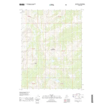
2018 · Ketchikan A-1 NW
USGS Topo · 1:25,000