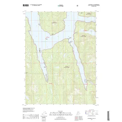
2018 Map of Ketchikan A-3 SE
USGS Topo · Published 2018About this map
Tongass National Forest encompasses the entirety of this coastal landscape, where the Pacific Ocean penetrates the terrain through a network of deep inlets and tidal passages. The geography is defined by a series of prominent points and islands, such as Bactrian Point and Gannet Island, which guard the entrances to sheltered waters like Vixen Bay and Mink Bay. These protected coves and arms contrast with the elevated interior, where the Peninsula Ridge rises steeply from the shoreline.
Find a feature on this map
24 named features on this map. Tap any name to fly to it.
Don’t see what you’re looking for? This feature index may not catch every label — zoom into the map to look around manually.
Map Details
Editions of this 2018 Ketchikan A-3 SE Map
This is the sole edition of this map. No revisions or reprints were ever made.
Other maps of this area

1951 · Prince Rupert
USGS Topo · 1:250,000

1952 · Ketchikan
USGS Topo · 1:250,000

1955 · Ketchikan A-2
USGS Topo · 1:63,360

1955 · Prince Rupert D-3
USGS Topo · 1:63,360

1955 · Ketchikan A-3
USGS Topo · 1:63,360

1955 · Prince Rupert D-2
USGS Topo · 1:63,360

1955 · Ketchikan
USGS Topo · 1:250,000

1959 · Prince Rupert
USGS Topo · 1:250,000

1964 · Prince Rupert
USGS Topo · 1:250,000
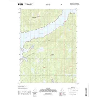
2018 · Ketchikan A-3 SW
USGS Topo · 1:25,000