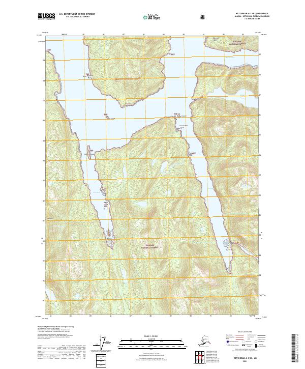
2021 Map of Ketchikan A-3 SE
USGS Topo · Published 2021About this map
Tongass National Forest dominates this coastal Alaska landscape, characterized by complex inlets and mountainous islands. The map shows the intricate shoreline of the Revillagigedo Channel area, including the deep waters of Vixen Bay and Mink Bay. Inland, the terrain rises toward Peninsula Ridge, punctuated by freshwater bodies like Hugh Smith Lake and Quadra Lake. The presence of the Humpback Trl near Humpback Creek provides evidence of human access through the dense coastal timber and steep topography of the region. Scattered throughout the waterways are small, named landforms such as Kestrel Island, Kite Island, and Gannet Island, illustrating the navigational complexity of these Southeast Alaska channels. The map also identifies specific maritime landmarks like Bactrian Point and Porpoise Point, which are essential for orienting within the vast forest reserve.
Find a feature on this map
24 named features on this map. Tap any name to fly to it.
Don’t see what you’re looking for? This feature index may not catch every label — zoom into the map to look around manually.
Map Details
Editions of this 2021 Ketchikan A-3 SE Map
This is the sole edition of this map. No revisions or reprints were ever made.
Other maps of this area

1951 · Prince Rupert
USGS Topo · 1:250,000

1952 · Ketchikan
USGS Topo · 1:250,000

1955 · Ketchikan A-2
USGS Topo · 1:63,360

1955 · Prince Rupert D-3
USGS Topo · 1:63,360

1955 · Ketchikan A-3
USGS Topo · 1:63,360

1955 · Prince Rupert D-2
USGS Topo · 1:63,360

1955 · Ketchikan
USGS Topo · 1:250,000

1959 · Prince Rupert
USGS Topo · 1:250,000

1964 · Prince Rupert
USGS Topo · 1:250,000
2018 · Ketchikan A-3 SW
USGS Topo · 1:25,000