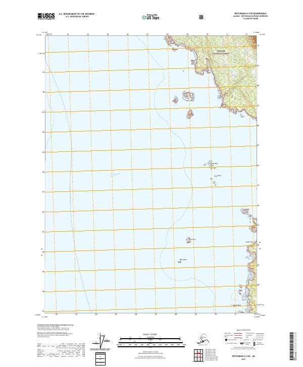
2021 Map of Ketchikan A-4 SE
USGS Topo · Published 2021About this map
The waters of the Revillagigedo Channel dominate this maritime survey of the Alaska coastline within the Tongass National Forest. This southern coastal environment is defined by its series of navigation hazards and rocky outcroppings that line the passage toward the open sea. Numerous named rocks and islets such as Snail Rock, Black Rock, and Indian Rock provide essential landmarks for local mariners and those tracing historical shipping routes through the Inside Passage.
Find a feature on this map
15 named features on this map. Tap any name to fly to it.
Don’t see what you’re looking for? This feature index may not catch every label — zoom into the map to look around manually.
Map Details
Editions of this 2021 Ketchikan A-4 SE Map
This is the sole edition of this map. No revisions or reprints were ever made.
Other maps of this area

1951 · Prince Rupert
USGS Topo · 1:250,000

1952 · Ketchikan
USGS Topo · 1:250,000

1955 · Prince Rupert D-3
USGS Topo · 1:63,360

1955 · Ketchikan A-4
USGS Topo · 1:63,360
1955 · Prince Rupert D-4
USGS Topo · 1:63,360

1955 · Ketchikan A-3
USGS Topo · 1:63,360

1955 · Ketchikan
USGS Topo · 1:250,000

1959 · Prince Rupert
USGS Topo · 1:250,000

1964 · Prince Rupert
USGS Topo · 1:250,000
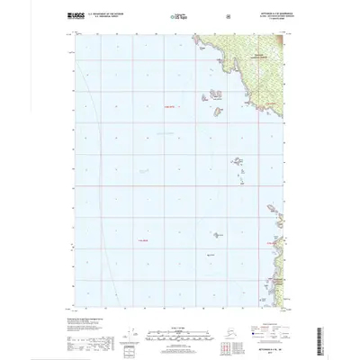
2017 · Ketchikan A-4 SE
USGS Topo · 1:25,000