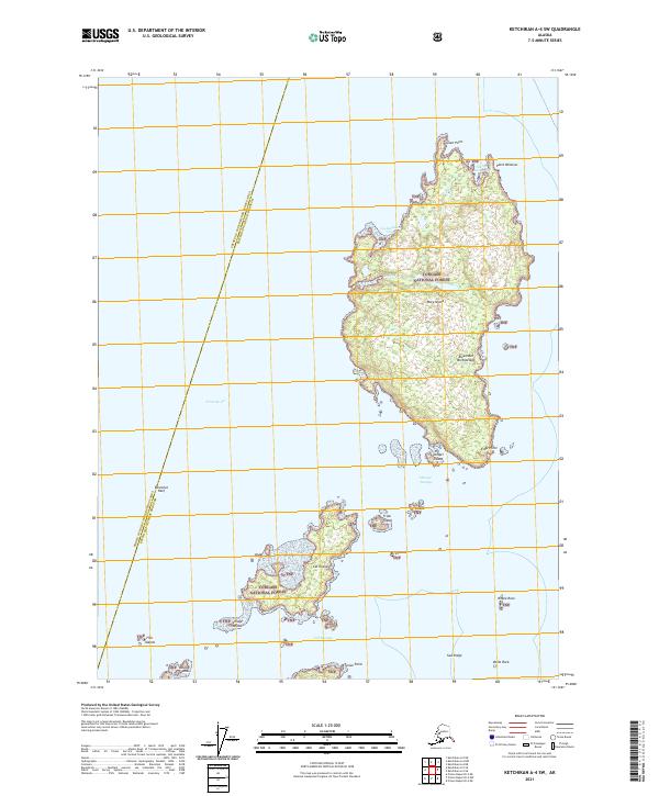
2021 Map of Ketchikan A-4 SW
USGS Topo · Published 2021About this map
Mary Island and Cat Island dominate this coastal section of the Alexander Archipelago, illustrating the complex maritime geography of Southeast Alaska. This maritime landscape is defined by deep channels and intricate coastlines, with Felice Strait separating the island groups from the Annette Island Reserve. Much of the land area is under the management of the Tongass National Forest, including the dense forestation on Village Island and the elevated terrain of Saw Ridge. Significant coastal features such as Customhouse Cove and Grave Point serve as critical navigation markers within the surrounding waters of Danger Passage and Cat Passage. The map captures a region primarily defined by its natural resources and tribal lands, with no developed road systems or permanent settlements indicated beyond the protected forest and reserve boundaries.
Find a feature on this map
32 named features on this map. Tap any name to fly to it.
Don’t see what you’re looking for? This feature index may not catch every label — zoom into the map to look around manually.
Map Details
Editions of this 2021 Ketchikan A-4 SW Map
This is the sole edition of this map. No revisions or reprints were ever made.
Other maps of this area

1951 · Prince Rupert
USGS Topo · 1:250,000

1952 · Ketchikan
USGS Topo · 1:250,000

1955 · Ketchikan A-4
USGS Topo · 1:63,360

1955 · Ketchikan A-5
USGS Topo · 1:63,360
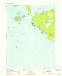
1955 · Prince Rupert D-5
USGS Topo · 1:63,360
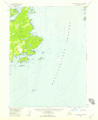
1955 · Prince Rupert D-4
USGS Topo · 1:63,360

1955 · Ketchikan
USGS Topo · 1:250,000

1959 · Prince Rupert
USGS Topo · 1:250,000

1964 · Prince Rupert
USGS Topo · 1:250,000
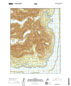
2017 · Ketchikan A-5 SE
USGS Topo · 1:25,000