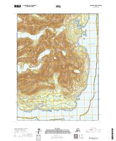
2017 Map of Ketchikan A-5 SE
USGS Topo · Published 2017About this map
Annette Island dominates this portion of the Alexander Archipelago, showcasing a landscape of high peaks and freshwater catchments during the early 21st century. The terrain is defined by dramatic elevations such as Tamgas Mtn and Chapeau Mtn, which overlook an intricate network of inland waters including Tamgas Lake and the high-elevation Crater Lake. To the north, the topography rises toward Dubuque Mtn and Agassiz Mtn, illustrating the complex glacial carving characteristic of this maritime region.
Find a feature on this map
32 named features on this map. Tap any name to fly to it.
Don’t see what you’re looking for? This feature index may not catch every label — zoom into the map to look around manually.
Map Details
Editions of this 2017 Ketchikan A-5 SE Map
This is the sole edition of this map. No revisions or reprints were ever made.
Other maps of this area

1951 · Prince Rupert
USGS Topo · 1:250,000

1952 · Ketchikan
USGS Topo · 1:250,000

1955 · Ketchikan A-4
USGS Topo · 1:63,360

1955 · Ketchikan A-5
USGS Topo · 1:63,360
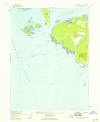
1955 · Prince Rupert D-5
USGS Topo · 1:63,360
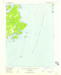
1955 · Prince Rupert D-4
USGS Topo · 1:63,360

1955 · Ketchikan
USGS Topo · 1:250,000

1959 · Prince Rupert
USGS Topo · 1:250,000

1964 · Prince Rupert
USGS Topo · 1:250,000
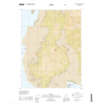
2017 · Ketchikan A-5 SW
USGS Topo · 1:25,000