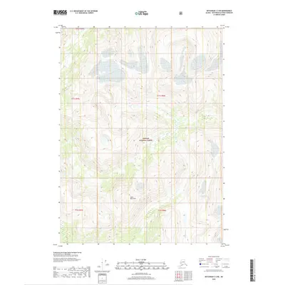
2018 Map of Ketchikan C-2 NE
USGS Topo · Published 2018About this map
Adam Mountains dominate this high-altitude landscape within the Tongass National Forest, illustrating the steep and glacially influenced terrain of southeast Alaska. The 2018 survey reveals a wilderness defined by extreme elevation changes, where drainage systems like the Wilson River and Blossom River flow through deep valleys. These watercourses serve as the primary natural corridors in a region notably absent of roads or permanent human settlements, reflecting the managed preservation of the national forest system. The map is a precise record of the public land survey system divisions, including t71s r98e and t72s r98e, which provide the essential legal framework for navigating and managing this remote coastal territory.
Find a feature on this map
9 named features on this map. Tap any name to fly to it.
Don’t see what you’re looking for? This feature index may not catch every label — zoom into the map to look around manually.
Map Details
Editions of this 2018 Ketchikan C-2 NE Map
This is the sole edition of this map. No revisions or reprints were ever made.
Other maps of this area

1952 · Ketchikan
USGS Topo · 1:250,000

1955 · Ketchikan D-2
USGS Topo · 1:63,360

1955 · Ketchikan C-2
USGS Topo · 1:63,360

1955 · Ketchikan D-1
USGS Topo · 1:63,360

1955 · Ketchikan C-1
USGS Topo · 1:63,360

1955 · Ketchikan
USGS Topo · 1:250,000

1996 · Ketchikan C-2
USGS Topo · 1:63,360
1996 · Ketchikan D-2
USGS Topo · 1:63,360
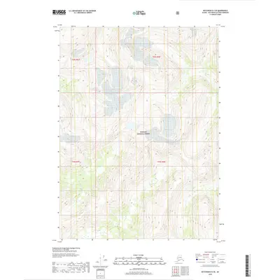
2018 · Ketchikan D-2 SE
USGS Topo · 1:25,000
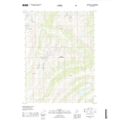
2018 · Ketchikan C-1 SW
USGS Topo · 1:25,000