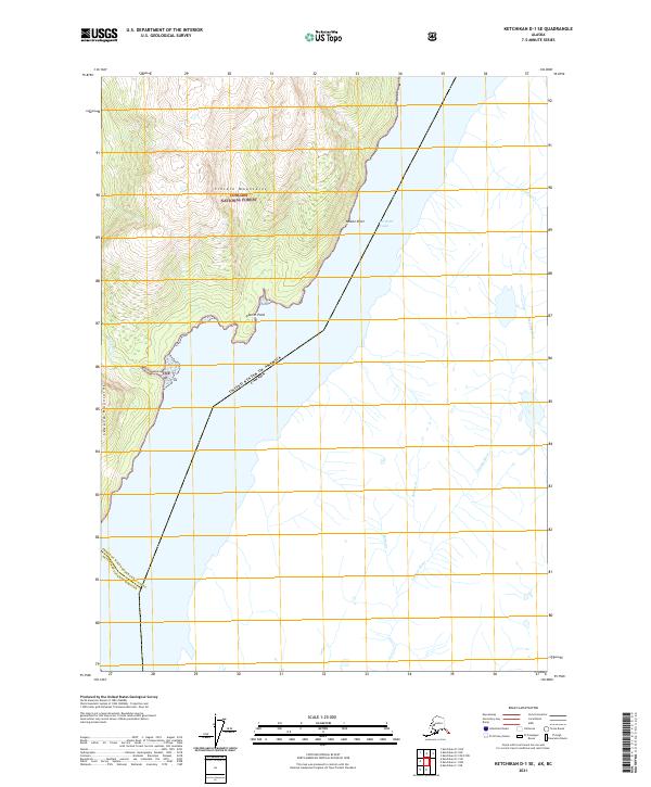
2021 Map of Ketchikan D-1 SE
USGS Topo · Published 2021About this map
The international boundary between Alaska and British Columbia carves through the deep waters of Portland Canal, defining the remote southeastern edge of the state. This 2021 topographic record reveals a landscape dominated by the high peaks of the Lincoln Mountains and the Seward Mountains, almost entirely contained within the Tongass National Forest. The map documents the drainage patterns of the coastal wilderness, where the Soule River meets the salt water near Glacier Point, while on the eastern shore of the canal, the Georgie River and Bullion Cr descend from the Canadian highlands. This modern survey serves as a vital record for maritime navigation and wilderness boundary management, capturing the precise line where the Prince of Wales-Hyder Census Area and Ketchikan Gateway Borough intersect at the coastal margin.
Find a feature on this map
18 named features on this map. Tap any name to fly to it.
Don’t see what you’re looking for? This feature index may not catch every label — zoom into the map to look around manually.
Map Details
Editions of this 2021 Ketchikan D-1 SE Map
This is the sole edition of this map. No revisions or reprints were ever made.
Other maps of this area

1952 · Ketchikan
USGS Topo · 1:250,000

1955 · Ketchikan D-1
USGS Topo · 1:63,360

1955 · Ketchikan C-1
USGS Topo · 1:63,360

1955 · Ketchikan
USGS Topo · 1:250,000
2018 · Ketchikan C-1 NE
USGS Topo · 1:25,000
2018 · Ketchikan D-1 SW
USGS Topo · 1:25,000
2018 · Ketchikan D-1 NE
USGS Topo · 1:25,000
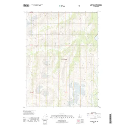
2018 · Ketchikan C-1 NW
USGS Topo · 1:25,000
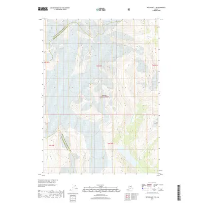
2018 · Ketchikan D-1 NW
USGS Topo · 1:25,000
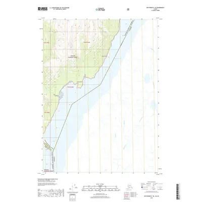
2018 · Ketchikan D-1 SE
USGS Topo · 1:25,000