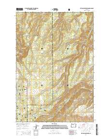
2014 Map of Ketchum Reservoir
USGS Topo · Published 2014About this map
Mount Hood National Forest anchors the southwestern portion of this landscape along the boundary between Hood River and Wasco counties. The area is defined by a dense network of drainages and springs feeding into the larger canyon systems, including Ketchum Reservoir and the Sky Ranch Reservoir Number Three complex. Historical land use is suggested by features like Old Schoolhouse Spring and the presence of several established ranch roads such as Ketchum Ranch Rd and Johns Mill Rd. The terrain is characterized by prominent ridges and plateaus, from the elevated Mill Creek Ridge and Sheldon Ridge to the broad expanse of Pine Flat. These features, combined with named landmarks like Woods Backbone and Woods Backbone, illustrate a complex topography of deep canyons and high divides where early mountain roads like Ladore and Ketchum Rd follow the natural contours of the high country.
Find a feature on this map
56 named features on this map. Tap any name to fly to it.
Don’t see what you’re looking for? This feature index may not catch every label — zoom into the map to look around manually.
Map Details
Editions of this 2014 Ketchum Reservoir Map
This is the sole edition of this map. No revisions or reprints were ever made.
Other maps of this area

1924 · Mount Hood
USGS Topo · 1:125,000

1926 · Hood River
USGS Topo · 1:125,000

1927 · Mount Hood
USGS Topo · 1:125,000

1929 · Hood River
USGS Topo · 1:125,000

1930 · Dufur
USGS Topo · 1:125,000

1934 · Dufur
USGS Topo · 1:125,000

1934 · The Dalles
USGS Topo · 1:125,000

1953 · The Dalles
USGS Topo · 1:250,000

1956 · The Dalles
USGS Topo · 1:250,000

1957 · The Dalles
USGS Topo · 1:250,000