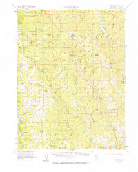
1955 Map of Kettenpom
USGS Topo · Published 1963About this map
Kettenpom Valley serves as the central corridor for this mid-century survey of the California Coast Ranges, where isolated ranches and early forest management infrastructure defined the landscape. The remote settlement of Kettenpom and the Zenia Guard Sta anchor the northern reaches, while the southwestern corner is dominated by the Northwestern Pacific Railroad as it follows the winding Eel River. The terrain is deeply dissected by drainage systems like Kekawaka Creek and Hoaglin Creek, creating a series of prominent high points including Pilot Peak and Kettenpom Pk. Family-named sites like Lampley Ranch and Duncan Ranch are scattered throughout the hills, reflecting the area's legacy of ranching. Public land management is evident through the Six Rivers National Forest and the northern tip of the Round Valley Indian Res 35, illustrating the mix of federal, tribal, and private interests in this Trinity County wilderness.
Find a feature on this map
89 named features on this map. Tap any name to fly to it.
Don’t see what you’re looking for? This feature index may not catch every label — zoom into the map to look around manually.
Map Details
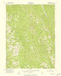
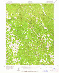
Editions of this 1955 Kettenpom Map
3 editions found
Other maps of this area

1918 · Anada
USGS Topo · 1:62,500

1920 · Cummings
USGS Topo · 1:62,500

1920 · Covelo
USGS Topo · 1:62,500

1920 · Harris
USGS Topo · 1:62,500

1921 · Hoaglin
USGS Topo · 1:62,500

1922 · Island Mountain
USGS Topo · 1:62,500

1926 · Covelo
USGS Topo · 1:62,500

1931 · Hoaglin
USGS Topo · 1:96,000

1935 · Hoaglin
USGS Topo · 1:125,000

1949 · Blocksburg
USGS Topo · 1:62,500