
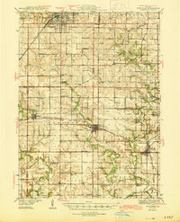
1944 Map of Kewanee
USGS Topo · Published 1944About this map
The industrial and agricultural hub of Kewanee anchors this mid-century landscape, where the Chicago Burlington and Quincy railroad cuts through the heart of the city near Evergreen Park. Extending south across the Stark County line, the map reveals a dense network of rural infrastructure typical of the Illinois prairie before the consolidation of rural school districts. One-room schoolhouses such as Bumble Bee Sch, Vinegar Hill Sch, and Saxon Sch appear at nearly every square-mile interval, providing precise coordinates for local genealogy research.
Find a feature on this map
64 named features on this map. Tap any name to fly to it.
Don’t see what you’re looking for? This feature index may not catch every label — zoom into the map to look around manually.
Map Details
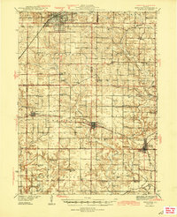
Editions of this 1944 Kewanee Map
3 editions found
Other maps of this area

1893 · Dunlap
USGS Topo · 1:62,500

1898 · Dunlap
USGS Topo · 1:62,500

1921 · Buda
USGS Topo · 1:62,500

1923 · Buda
USGS Topo · 1:62,500

1929 · Annawan
USGS Topo · 1:62,500

1931 · Galva
USGS Topo · 1:48,000

1932 · Annawan
USGS Topo · 1:62,500

1932 · Dunlap
USGS Topo · 1:62,500

1933 · Dunlap
USGS Topo · 1:62,500

1933 · Camp Grove
USGS Topo · 1:48,000