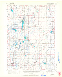
1955 Map of Kewaskum
USGS Topo · Published 1968About this map
Kettle Moraine State Forest dominates the topography of this mid-century Wisconsin landscape, carving a glacial path through Washington and Sheboygan Counties. The map reveals a deeply etched terrain of kames and kettles, punctuated by prominent elevations like Dundee Mountain and Garriety Hill. This era captures a rural network of small agricultural hubs and crossroads, where the Milwaukee River and Onion River serve as primary drainage for numerous glacial lakes, including Long Lake, Lake Ellen, and the cluster of water bodies surrounding Mauthe Lake. Local history is preserved in the location of country schools such as Lafollette Sch and Pius Sch, alongside sites already lost to time by 1955, including the St Johns Ch (Abandoned) and Washington Sch (Abandoned). The settlement pattern centers on villages like Cascade, Batavia, and Kewaskum, illustrating a stable post-war rural economy defined by gravel extraction and small-scale farming.
Find a feature on this map
102 named features on this map. Tap any name to fly to it.
Don’t see what you’re looking for? This feature index may not catch every label — zoom into the map to look around manually.
Map Details
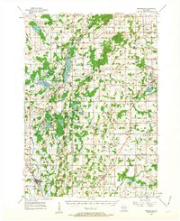
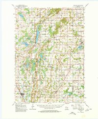
Editions of this 1955 Kewaskum Map
4 editions found

Other maps of this area

1892 · Port Washington
USGS Topo · 1:62,500

1904 · West Bend
USGS Topo · 1:62,500

1904 · Port Washington
USGS Topo · 1:62,500

1904 · Hartford
USGS Topo · 1:62,500

1910 · Fond du Lac
USGS Topo · 1:62,500

1954 · Sheboygan Falls
USGS Topo · 1:62,500

1954 · Howards Grove
USGS Topo · 1:62,500

1954 · Franklin
USGS Topo · 1:24,000

1954 · Kiel
USGS Topo · 1:62,500

1954 · Milwaukee
USGS Topo · 1:250,000