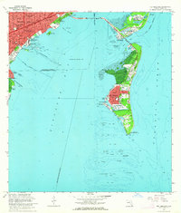
1962 Map of Key Biscayne
USGS Topo · Published 1964About this map
Key Biscayne and Virginia Key are the focal points of this coastal survey, linked to the mainland by the Rickenbacker Causeway. The northern portion of the sheet reveals the expanding urban footprint of Miami, including the residential developments of Silver Bluff Estates and Ocean View Heights. This era showcases a unique mix of maritime and institutional land use, with the U S Coast Guard Air Station and Univ of Miami (Marine Laboratory) situated near Dinner Key. A massive Seaplane Base Operating Area dominates the central waters of Biscayne Bay. Southward, the landscape transitions to the recreational and natural spaces of Crandon County Park, leading down to the historic Cape Florida Old Lighthouse Tower at the tip of the island. On the mainland, the Florida East Coast Railway runs parallel to the South Dixie Highway, marking the edge of Coconut Grove.
Find a feature on this map
63 named features on this map. Tap any name to fly to it.
Don’t see what you’re looking for? This feature index may not catch every label — zoom into the map to look around manually.
Map Details
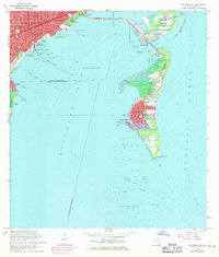
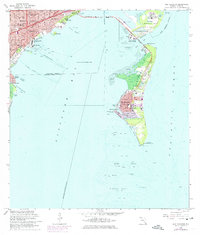
Editions of this 1962 Key Biscayne Map
3 editions found
Other maps of this area

1947 · Key Biscayne
USGS Topo · 1:24,000

1948 · Soldier Key
USGS Topo · 1:24,000

1949 · Key Biscayne
USGS Topo · 1:24,000

1949 · Perrine
USGS Topo · 1:24,000

1950 · Hialeah
USGS Topo · 1:24,000

1950 · Miami
USGS Topo · 1:24,000

1950 · South Miami
USGS Topo · 1:24,000

1956 · Perrine
USGS Topo · 1:24,000

1956 · South Miami
USGS Topo · 1:24,000
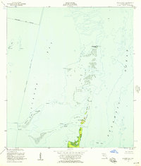
1956 · Soldier Key
USGS Topo · 1:24,000