
1970 Map of Key
USGS Topo · Published 1973About this map
Spraberry West Oil Field and the Spraberry Oil Field dominate this West Texas landscape, showing a dense network of petroleum extraction infrastructure in the early 1970s. The map reveals the interplay between the industrial oil economy and traditional rural settlements like Key and Midway. Numerous oil wells and gas wells are interspersed among the drainages of Gold Creek and Sulphur Springs Draw, illustrating how the boom transformed the High Plains.
Find a feature on this map
11 named features on this map. Tap any name to fly to it.
Don’t see what you’re looking for? This feature index may not catch every label — zoom into the map to look around manually.
Map Details
Editions of this 1970 Key Map
This is the sole edition of this map. No revisions or reprints were ever made.
Other maps of this area

1954 · Big Spring
USGS Topo · 1:250,000

1958 · Big Spring
USGS Topo · 1:250,000

1968 · Lamesa North
USGS Topo · 1:24,000

1968 · Hancock
USGS Topo · 1:24,000

1969 · Indian Canyon
USGS Topo · 1:24,000

1970 · Lamesa South
USGS Topo · 1:24,000

1970 · Ackerly
USGS Topo · 1:24,000
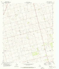
1970 · Tenmile
USGS Topo · 1:24,000

1970 · Sand Creek
USGS Topo · 1:24,000
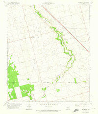
1970 · Sparenberg
USGS Topo · 1:24,000