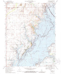
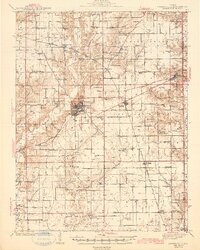
1969 Map of Keyesport
USGS Topo · Published 1989About this map
Carlyle Reservoir dominates this 1960s landscape, illustrating the massive environmental transformation of the Kaskaskia River valley following the reservoir's creation. The map provides a unique look at the shoreline before major modernization, showing where the water inundated the mouths of Hazlet Creek and Coles Creek. Significant oil and gas exploration is evident across the western uplands, specifically the Beaver Creek Oil Field and Keyesport Oil Field, while the Burlington Northern railroad maintains its vital corridor along the eastern edge.
Find a feature on this map
50 named features on this map. Tap any name to fly to it.
Don’t see what you’re looking for? This feature index may not catch every label — zoom into the map to look around manually.
Map Details
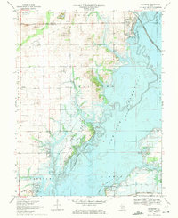
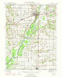
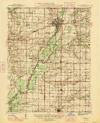
Editions of this 1969 Keyesport Map
2 editions found
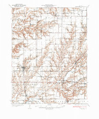
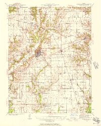
Other maps of this area

1910 · Carlyle
USGS Topo · 1:62,500

1914 · Centralia
USGS Topo · 1:62,500
1932 · Greenville
USGS Topo · 1:62,500

1935 · Centralia
USGS Topo · 1:62,500
1939 · Greenville
USGS Topo · 1:62,500
1943 · Greenville
USGS Topo · 1:62,500
1945 · Vandalia
USGS Topo · 1:62,500
1947 · Vandalia
USGS Topo · 1:62,500

1948 · Carlyle
USGS Topo · 1:62,500

1958 · Belleville
USGS Topo · 1:250,000