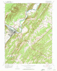
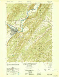
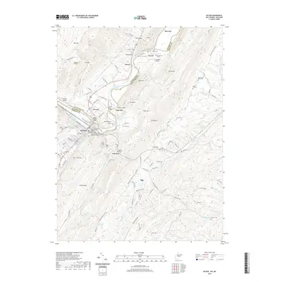
1949 Map of Keyser
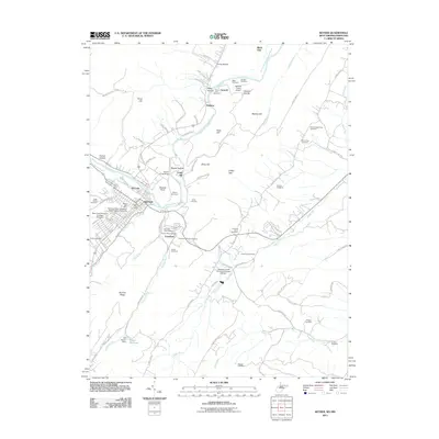
USGS Topo · Published 1972About this map
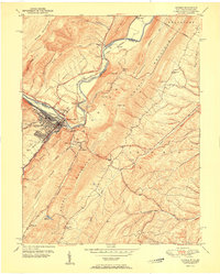
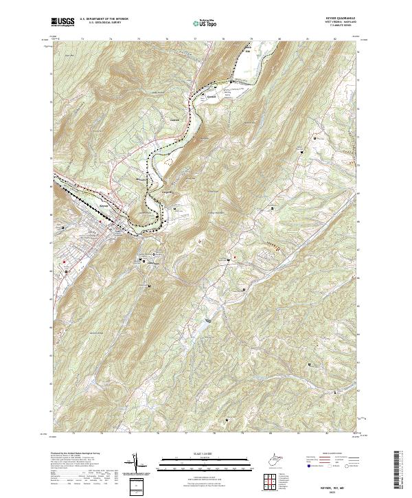
Keyser serves as the industrial and educational anchor of this riverfront landscape, where the North Branch of the Potomac River carves through the sharp ridges of Knobly Mountain and Dans Mountain. In the mid-century, the city was a vital transportation hub defined by the Baltimore and Ohio and Western Maryland railroads, which parallel the riverbanks. The presence of Potomac State College and several community landmarks like the Wilson Community Hall suggest a well-established social fabric. For genealogists, the map reveals numerous small burial grounds and rural places of worship, including Meadow View Cem, Willow Dale Chapel, and the Mead Ch tucked into the highlands. The terrain is marked by steep gaps like O'Neil Gap and the prominent overlook at Queens Point, which towers over the settlement of McCoole on the Maryland side.
Find a feature on this map
58 named features on this map. Tap any name to fly to it.
Don’t see what you’re looking for? This feature index may not catch every label — zoom into the map to look around manually.
Map Details
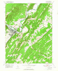
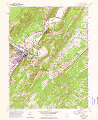
Editions of this 1949 Keyser Map
3 editions found
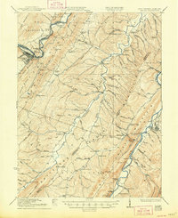
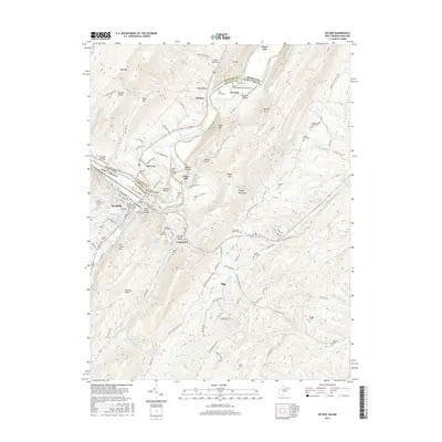
Historical Maps of Keyser Through Time
11 maps found

1920 Keyser
Mineral County, WV

1921 Keyser
Mineral County, WV
1922 Keyser
Mineral County, WV
1949 Keyser
Mineral County, WV
1950 Keyser
Mineral County, WV
1951 Keyser
Mineral County, WV
2011 Keyser
Mineral County, WV

2014 Keyser
Mineral County, WV
2016 Keyser
Mineral County, WV
2019 Keyser
Mineral County, WV
2023 Keyser
Mineral County, WV