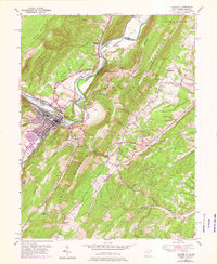
1949 Map of Keyser
USGS Topo · Published 1976About this map
Knobly Mountain and New Creek Mountain dominate this landscape along the Potomac River corridor at the West Virginia-Maryland border. The topography is defined by sharp parallel ridges and deep hollows, such as Wildcat Hollow and Culvert Hollow, which dictated the early settlement patterns and transport routes of the mid-20th century. While Gerstell and Black Oak serve as small population centers, the map reveals a rugged backcountry where drainage systems like Abrams Creek and Staggs Run carve through the limestone-rich valleys. The 1974 revision layers, printed in purple, indicate infrastructure changes over a twenty-five-year period, reflecting the slow evolution of this Appalachian mountain region from its 1949 survey base.
Find a feature on this map
17 named features on this map. Tap any name to fly to it.
Don’t see what you’re looking for? This feature index may not catch every label — zoom into the map to look around manually.
Map Details
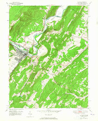
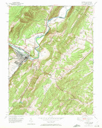
Editions of this 1949 Keyser Map
3 editions found
Other maps of this area

1891 · Romney
USGS Topo · 1:125,000

1895 · Piedmont
USGS Topo · 1:125,000

1898 · Frostburg
USGS Topo · 1:62,500

1899 · Grantsville
USGS Topo · 1:62,500

1901 · Frostburg
USGS Topo · 1:62,500

1904 · Grantsville
USGS Topo · 1:62,500

1908 · Frostburg
USGS Topo · 1:62,500

1919 · Elk Garden
USGS Topo · 1:48,000

1920 · Elk Garden
USGS Topo · 1:48,000

1920 · Keyser
USGS Topo · 1:62,500