
1958 Map of Keystone Dam
USGS Topo · Published 1959About this map
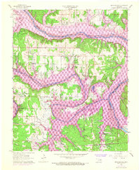
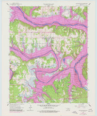
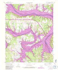
Keystone Dam Under Construction dominates the confluence of the Arkansas River and Cimarron River, marking a transformative moment for this Oklahoma landscape. This 1958 survey captures the region just before the waters of the new reservoir fundamentally altered the local geography. Small communities such as Keystone, Appalachia, and Prue are still depicted in their original locations, providing a vital record for genealogists and local historians. The map also traces the routes of the Missouri Kansas Texas and St Louis San Francisco railroads as they navigate the river valleys and the Osage Indian Reservation Boundary. Numerous oil wells and scattered family landmarks like Sinnett Cem, Leroy Cem, and Rigsby Sch reflect the rural, resource-driven economy of the late 1950s.
Find a feature on this map
40 named features on this map. Tap any name to fly to it.
Don’t see what you’re looking for? This feature index may not catch every label — zoom into the map to look around manually.
Map Details
Editions of this 1958 Keystone Dam Map
4 editions found
Other maps of this area

1912 · Hominy
USGS Topo · 1:125,000

1915 · Hominy
USGS Topo · 1:125,000

1915 · Hominy
USGS Topo · 1:62,500

1955 · Enid
USGS Topo · 1:250,000

1958 · Enid
USGS Topo · 1:250,000
1958 · Mannford SE
USGS Topo · 1:24,000

1958 · Wekiwa
USGS Topo · 1:24,000
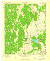
1959 · Lake Sahoma
USGS Topo · 1:24,000

1966 · Cleveland
USGS Topo · 1:24,000
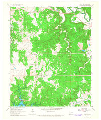
1966 · Avant SW
USGS Topo · 1:24,000