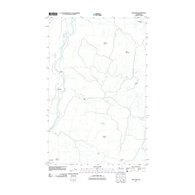
2011 Map of Keystone
USGS Topo · Published 2011About this map
The Okanogan River carves through the western edge of this landscape, defining the corridor where settlements like Riverside and Barker are established. Moving east from the river, the terrain ascends into a series of high ridges and basins, including Chewiliken Valley and Meader Flat. This 2011 survey reveals a rural network of roads such as Tunk Creek Rd and Chewiliken Valley Rd that navigate the drainages of Tunk Creek and Chewiliken Creek.
Find a feature on this map
22 named features on this map. Tap any name to fly to it.
Don’t see what you’re looking for? This feature index may not catch every label — zoom into the map to look around manually.
Map Details
Editions of this 2011 Keystone Map
This is the sole edition of this map. No revisions or reprints were ever made.
Other maps of this area

1902 · Osoyoos
USGS Topo · 1:125,000

1904 · Osoyoos
USGS Topo · 1:125,000

1905 · Okanogan
USGS Topo · 1:125,000

1906 · Chopaka
USGS Topo · 1:125,000

1953 · Omak Lake
USGS Topo · 1:62,500

1954 · Okanogan
USGS Topo · 1:250,000

1957 · Okanogan
USGS Topo · 1:62,500

1957 · Conconully
USGS Topo · 1:62,500

1957 · Tonasket
USGS Topo · 1:62,500

1958 · Okanogan
USGS Topo · 1:250,000