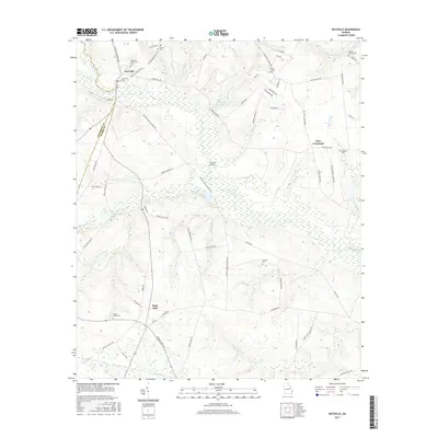
2017 Map of Keysville
USGS Topo · Published 2017About this map
Keysville and Saint Clair anchor this 2017 survey of the borderlands between Jefferson and Burke Counties. The landscape is defined by the winding course of Brier Creek and its many tributaries, including Little Brushy Cr and Beaver Dam Cr. This area maintains a significant connection to its past through numerous family and community burial grounds, such as Pol Hill Cem, Gresham Cem, and the Keysville Community Cem.
Find a feature on this map
75 named features on this map. Tap any name to fly to it.
Don’t see what you’re looking for? This feature index may not catch every label — zoom into the map to look around manually.
Map Details
Editions of this 2017 Keysville Map
This is the sole edition of this map. No revisions or reprints were ever made.
Other maps of this area

1919 · Gough
USGS Topo · 1:62,500

1920 · Stapleton
USGS Topo · 1:62,500

1922 · Harlem
USGS Topo · 1:62,500

1922 · Hephzibah
USGS Topo · 1:62,500

1948 · Hephzibah
USGS Topo · 1:62,500

1948 · Harlem
USGS Topo · 1:62,500

1948 · Stapleton
USGS Topo · 1:62,500

1948 · Gough
USGS Topo · 1:62,500

1948 · Blythe
USGS Topo · 1:24,000
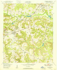
1950 · Hephzibah
USGS Topo · 1:24,000