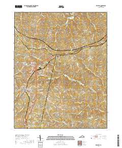
1968 Map of Keysville
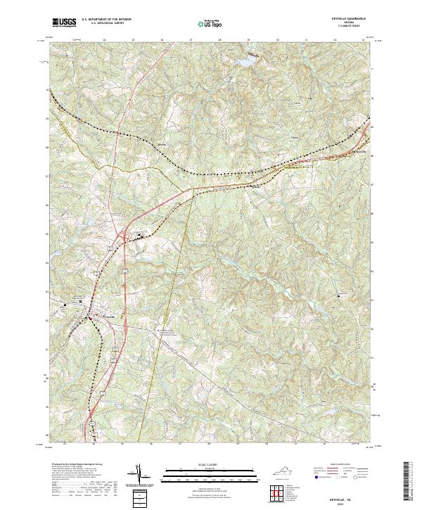
USGS Topo · Published 1972About this map
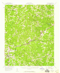
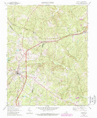
Keysville stands at the strategic intersection of the Southern and Norfolk And Western railroads, serving as a hub for this portion of Southside Virginia in the late 1960s. The landscape is defined by the headwaters of the Meherrin River and North Meherrin River, where numerous small communities and named landmarks are scattered across the Piedmont terrain. To the north, the small settlement of Virso and the community at Simplicity follow the rail lines and local roads, while social and religious life is anchored by country churches like Ash Camp Ch and Union Grove Ch. The map captures mid-century transitions in the rural economy, visible in features ranging from the Briery Country Club and a Drive-in Theatre to the necessary infrastructure of a Filtration Plant and Sewage Disposal system. Genealogists will find interest in the proximity of family-named water bodies like Walkers Pond and Bentleys Branch.
Find a feature on this map
42 named features on this map. Tap any name to fly to it.
Don’t see what you’re looking for? This feature index may not catch every label — zoom into the map to look around manually.
Map Details
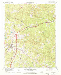
Editions of this 1968 Keysville Map
3 editions found
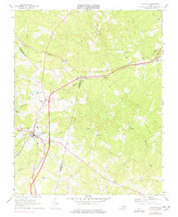
Historical Maps of Keysville Through Time
7 maps found