Loading...
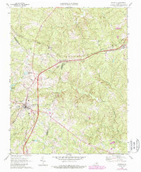
Loading map...1968 Map of Keysville
USGS Topo · Published 1987About this map
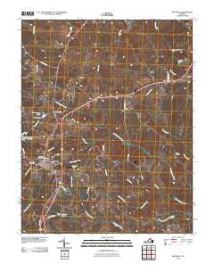
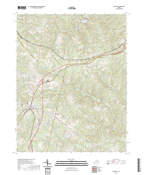
Keysville stands at the convergence of vital transportation corridors, where the Southern and Norfolk and Western railroads once met at this Piedmont crossing. The landscape is defined by the winding course of the North Meherrin River and its numerous tributaries, including Gills Creek and Turkey Creek. This 1960s-era survey captures the community infrastructure of the period, from the Radio Tower and Landing Strip to the Drive-in Theatre located near Simplicity.
Find a feature on this map
39 named features on this map. Tap any name to fly to it.
Don’t see what you’re looking for? This feature index may not catch every label — zoom into the map to look around manually.
Map Details
Date Portrayed1968
Date Published1987
PublisherU.S. Geological Survey
Map TypeTopographic
Scale1:24,000
Physical Dimensions22.1 x 26.8 inches
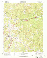
Editions of this 1968 Keysville Map
3 editions found
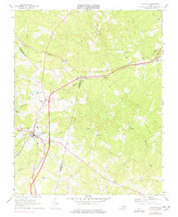
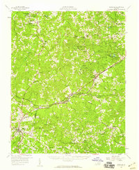
Historical Maps of Keysville Through Time
7 maps found
Featured Locations
Source Details
SourceU.S. Geological Survey
CopyrightPublic Domain