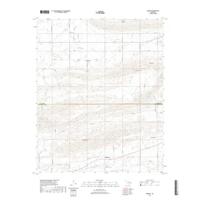
2019 Map of Kiamichi
USGS Topo · Published 2019About this map
Buffalo Mtn and the unique geological formations of the Potato Hills define this part of the Choctaw Nation in southeastern Oklahoma. The landscape is a complex network of ridges and narrow valleys, where the Kiamichi River flows through the southern section near the settlement of Kiamichi. Local genealogy is well-represented by several family or community burial sites, including the Kiamichi Pioneer Cem and Potts Cem, which sit alongside historic routes like SE 1060th Ave and E1585 Rd.
Find a feature on this map
57 named features on this map. Tap any name to fly to it.
Don’t see what you’re looking for? This feature index may not catch every label — zoom into the map to look around manually.
Map Details
Editions of this 2019 Kiamichi Map
This is the sole edition of this map. No revisions or reprints were ever made.
Other maps of this area

1901 · Tuskahoma
USGS Topo · 1:125,000

1908 · Tuskahoma
USGS Topo · 1:125,000

1909 · Tuskahoma
USGS Topo · 1:125,000

1940 · Red Oak
USGS Topo · 1:62,500

1943 · Red Oak
USGS Topo · 1:62,500

1950 · Mcalester
USGS Topo · 1:250,000

1962 · McAlester
USGS Topo · 1:250,000

1965 · McAlester
USGS Topo · 1:250,000

1971 · Yanush
USGS Topo · 1:24,000
1971 · Albion SE
USGS Topo · 1:24,000