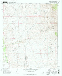
1972 Map of Kielberg Canyon
USGS Topo · Published 1975About this map
The Galiuro Mountains and the high desert canyons of the Coronado National Forest dominate this early 1970s survey. This rugged landscape is defined by the ephemeral Cienega Wash and the San Pedro River, which anchors the southwestern corner of the quadrangle. Cattle ranching and mineral exploration are evidenced by the scattered infrastructure across the terrain, including the YLE Ranch and the 16 to 1 Mine situated near Kielberg Canyon.
Find a feature on this map
27 named features on this map. Tap any name to fly to it.
Don’t see what you’re looking for? This feature index may not catch every label — zoom into the map to look around manually.
Map Details
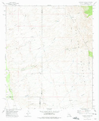
Editions of this 1972 Kielberg Canyon Map
2 editions found
Other maps of this area

1904 · Tucson
USGS Topo · 1:125,000

1905 · Tucson
USGS Topo · 1:125,000

1911 · Winkelman
USGS Topo · 1:125,000

1913 · Winkelman
USGS Topo · 1:125,000

1938 · Galiuro Mts
USGS Topo · 1:48,000

1943 · Galiuro Mts
USGS Topo · 1:62,500

1945 · Redington
USGS Topo · 1:62,500

1948 · Clark Ranch
USGS Topo · 1:24,000

1948 · Mammoth
USGS Topo · 1:62,500

1948 · Peppersauce Wash
USGS Topo · 1:24,000